Resources
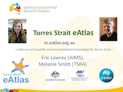 Eric Lawrey (AIMS), Torres Strait eAtlas; Wednesday 5th November 2014.
 Google have recently released an amazing new product that the E-Atlas team thought you would find interesting and useful. Google have brought together all the Landsat imagery (approx. 2,000,000 scene images and 980 TB of data) and created a time animation over the last 28 years of the entire world. You can zoom and pan to any location and see the progression of change in the landscape.
The imagery is most useful for studying land changes and not the marine environment. Each yearly image uses the clearest part of the year (i.e. when there are no clouds) and as a result it does not show flood events.
Examples include:
1. Townsville’s expansion over the last 28 years. Note how dry the dam was in the mid 1980’s.
http://earthengine.google.org/#timelapse/v=-19.26674,146.77732,9.901,latLng&t=0.02
2. Moving sand dunes in off of Brisbane and possibly sand mining.
http://earthengine.google.org/#timelapse/v=-27.37774,153.41441,10.356,latLng&t=2.84
3. Expansion of agriculture around the mouth of the Burdekin River.
http://earthengine.google.org/#timelapse/v=-19.66852,147.31793,9.348,latLng&t=1.56
4. Creation of Lake Proserpine in 1991.
http://earthengine.google.org/#timelapse/v=-20.32587,148.44875,9.14,latLng&t=1.62
5. Gladstone Harbour Expansion.
http://earthengine.google.org/#timelapse/v=-23.82554,151.21819,10.052,latLng&t=2.21
6. Atherton Tablelands. Some riparian strips have improved; more forest areas have been cleared.
http://earthengine.google.org/#timelapse/v=-17.26681,145.47608,10.812,latLng&t=2.87
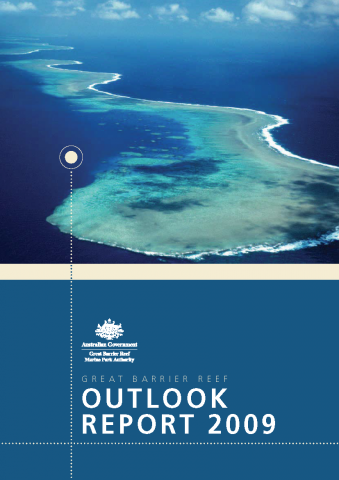 The Great Barrier Reef Outlook Report 2009 is a stock-take of the Great Barrier Reef, its management and its future.
The aim of the Outlook Report is to provide information about:
- The condition of the ecosystem of the Great Barrier Reef Region (including the ecosystem outside the Region where it affects the Region);
• Social and economic factors influencing the Great Barrier Reef ecosystem;
• Management effectiveness of the Great Barrier Reef; and
• Risk-based assessment of the long-term outlook for the Region.
The Report underpins decision-making for the long term protection of the Great Barrier Reef. It was prepared by the GBRMPA based on the best available information and was independently peer reviewed. Many people contributed to the development of the Outlook Report including:
• Australian and Queensland Government agencies
• Leading Great Barrier Reef scientists and researchers
• Industry representatives
• Advisory committees
• Members of regional communities and the public.
The publication of an Outlook Report was a key recommendation of the review of the Great Barrier Reef Marine Park Act 1975. A report is to be prepared every five years and given to the Minister for Sustainability, Environment, Water, Population and Communities for tabling in both houses of the Australian Parliament.
The Great Barrier Reef Outlook Report 2009 is the first of these reports.
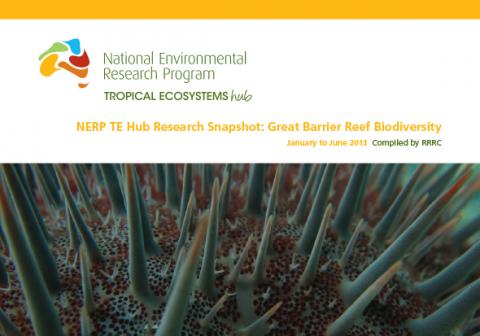 A snapshot of the research progress within the Great Barrier Reef Biodiversity node for January to June 2013.
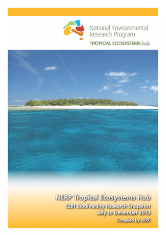 A snapshot of the research progress within the Great Barrier Reef Biodiversity node for July to December 2013.
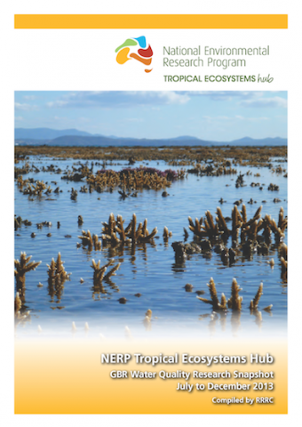 A snapshot of the research progress within the Great Barrier Reef Water Quality node for July to December 2013.
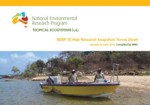 A snapshot of the research progress within the Torres Strait node for January to June 2013.
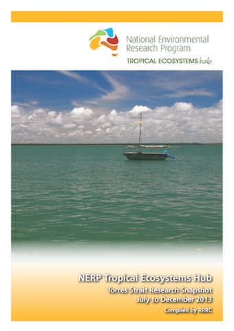 A snapshot of the research progress within the Torres Strait node for July to December 2013.
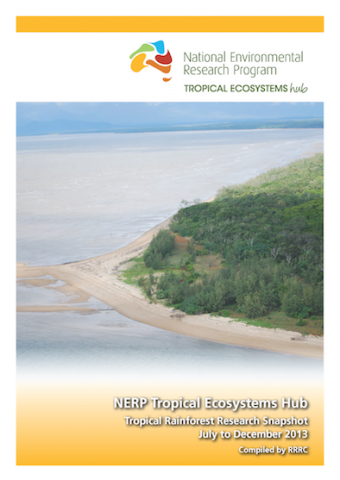 A snapshot of the research progress within the Tropical Rainforest node for July to December 2013.

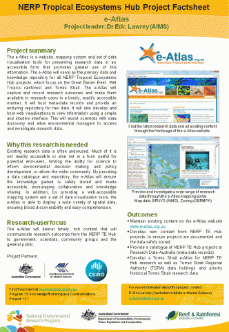 The e-Atlas is a website, mapping system and set of data visualisation tools for presenting research data in an accessible form that promotes greater use of this information. The e-Atlas will serve as the primary data and knowledge repository for all NERP Tropical Ecosystems Hub projects, which focus on the Great Barrier Reef, Wet Tropics rainforest and Torres Strait. The e-Atlas will capture and record research outcomes and make them available to research-users in a timely, readily accessible manner. It will host meta-data records and provide an enduring repository for raw data. It will also develop and host web visualisations to view information using a simple and intuitive interface. This will assist scientists with data discovery and allow environmental managers to access and investigate research data.
Latest News
- e-Atlas update - Thu 23rd Aug 2012

Current search
Search found 1 item
- [all items]
- (-) Remove Project 13.1 'e-Atlas for the Great Barrier Reef and Torres Strait' filter Project 13.1 'e-Atlas for the Great Barrier Reef and Torres Strait'
