Resources
 Damien Burrows (JCU), Norm Duke (JCU), Jock Mackenzie (JCU); Wetland Habitats of Torres Strait; Wednesday 8th May 2013.
 Damien Burrows (JCU), Norm Duke (JCU), Mark Geyle (TSRA); Mangrove, freshwater and coastal wetlands; Wednesday 5th November.
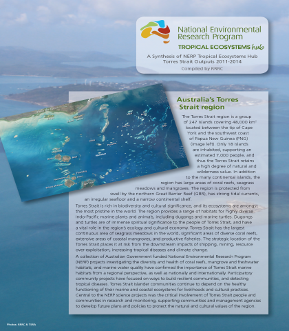
 Johnson, J.E., Marsh, H., Hamann, M., Duke, N., Burrows, D., Bainbridge, S., Sweatman, H., Brodie, J., Bohensky, E., Butler, J., Laurance, S. (2015) Tropical Research in Australia’s Torres Strait region.
Having locals identify environmental research needs for their own community is a key step to ensuring that research is relevant, appropriate and desirable for communities. Communities of the Torres Strait are no exception to this and three island communities in particular are the focus of a research project funded by the Australian Government’s Marine and Tropical Sciences Research Facility (MTSRF) Transition Program. This factsheet summarises the results of a study on environmental research needs in a number of Torres Strait communities, which also involved staff of the Torres Strait Regional Authority (TSRA) Land and Sea Management Unit (LSMU). The core aim of this project was to attempt to ensure that knowledge generated from future applied research arrangements is appropriate and useful for end-users throughout the Torres Strait. These end-users for future research include government agencies such as the TSRA, leaders and representatives (such as island councillors, island managers and Prescribed Body Corporate members), elders, and locals living in the communities where research is being conducted.
 Freshwater coastal wetlands and mangrove habitats provide a variety of ecosystem services include flood protection, erosion control, wildlife food and habitat, commercial fisheries, water quality, recreation and carbon sequestration1. An ecosystem service may be defined as “the benefits people obtain from ecosystems”2.
Unfortunately these areas are under threat World-wide, from rural development and agriculture as well as erosion and inundation from sea level rise and increasing storm frequency3.
Dr Damien Burrows of TropWATER4 (JCU) gave an overview of the issues facing GBR and Torres Strait wetlands and mangroves, particularly as a result of anthropogenic changes. Pesticides, excess nutrients and sediments flow into these areas, altering the habitat and ecology and, within wetlands, road and bund development creates barriers to water flow and fish passage. Loss of native riparian vegetation and the rise of introduced floating and emergent aquatic weeds were discussed, as was damage caused by feral animals (fish and mammals).
The Burdekin coastal wetlands were used as an example with one of the main threats the coverage of lagoons by floating weeds such as water hyacinth. This Class 2 Pest Plant was originally introduced to Australia as an aquatic ornamental but has since become a major pest of rivers and dams5. Mats of the weed destroy native habitat, decreasing biodiversity, seriously depleting water of oxygen, increasing water loss and providing breeding grounds for mosquitoes6. Dr Burrows suggested that removal was the only effective means of control; killing the weed and leaving it to decay only exacerbates the problem.
The conversion of grazing land to agriculture was also seen as a threat allowing weeds such as paragrass and Hymenachne to dominate adjacent wetlands. Here Dr Burrows suggested that wetlands could be restored through grazing and fire management and displayed examples showing the effectiveness of grazing as a weed management tool.
Dr Burrow’s and his team have also been working in Torres Strait, in collaboration with Torres Strait Regional Authority Land and Sea Management Unit (TSRA LMSU) Rangers. Surveys (NERP TE Hub project 2.2) have been undertaken and knowledge exchanged with Island communities. The research shows that shoreline mangroves have been badly affected by human and other impacts. The main human-related drivers of change were seen to be clearing and cutting, the burial of roots with dredge spoilage, pollutants and fire, the latter particularly in freshwater wetlands. Other factors included shoreline erosion, mangrove upland migration, storm damage (wind, lightning and sediment deposition) and damage by feral animals (pigs and deer) and weeds (pond apple6).
As part of the NERP TE Hub program, Dr Burrows and his team have refined their method for rapidly assessing the condition of mangrove habitats over large spatial scales (tens to hundreds of kms in days). This is achieved using boats and/or helicopters and is often conducted with the help of local community members or indigenous rangers. Dr Burrows concluded with a recent example of this, assessing the shorelines of the Burnett River in response to the recent floods where mangrove habitats have suffered extensive damage.
1 http://water.epa.gov/type/wetlands/cwt.cfm#why_imp
2 http://www.unep.org/maweb/en/Synthesis.aspx
3 http://water.epa.gov/type/wetlands/cwt.cfm#what_loss
4 https://research.jcu.edu.au/research/tropwater
5 http://www.daff.qld.gov.au/documents/Biosecurity_EnvironmentalPests/IPA-Water-Hyacinth-PP6.pdf
6 http://www.daff.qld.gov.au/documents/Biosecurity_EnvironmentalPests/IPA-Pond-Apple-PP58.pdf
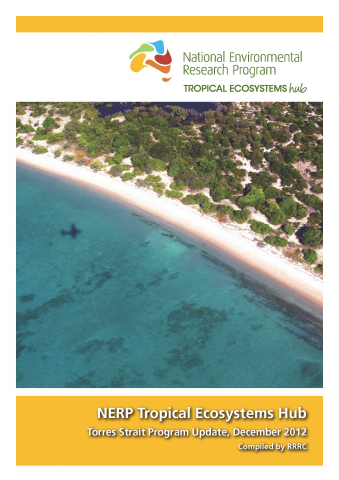 An update brochure of what's going on with the NERP Tropical Ecosystems Hub Torres Strait projects.
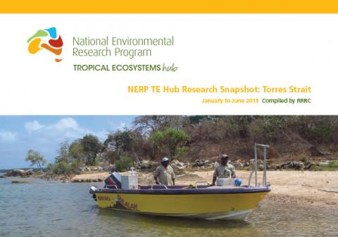 A snapshot of the research progress within the Torres Strait node for January to June 2013.
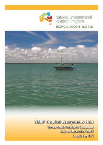 A snapshot of the research progress within the Torres Strait node for July to December 2013.

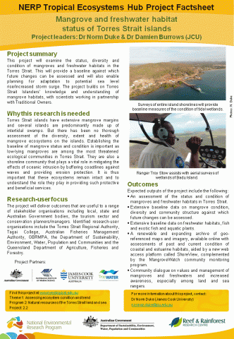 This project will examine the status, diversity and condition of mangroves and freshwater habitats in the Torres Strait. This will provide a baseline against which future changes can be assessed and will also enable planning for adaptation to potential sea level rise/increased storm surge. The project builds on Torres Strait Islanders’ knowledge and understanding of mangrove habitats, with scientists working in partnership with Traditional Owners.
Pages
Latest News
- Mangrove researchers on the move - Tue 26th Jun 2012

Current search
Search found 1 item
- [all items]
- (-) Remove Project 2.2. 'Mangrove and freshwater habitat status of Torres Strait islands' filter Project 2.2. 'Mangrove and freshwater habitat status of Torres Strait islands'
